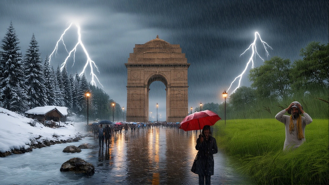
Just when you thought the winter chill had finally packed its bags, it’s coming back for a surprise visit. The India Meteorological Department (IMD) has issued a stark warning for the third week of February 2026: a fresh wave of rain and cold winds is sweeping across northern and central India.
Starting February 17, 2026, and lasting through February 19, 2026, ten states are bracing for disruptions. From heavy snow in the Himalayas to drizzles in Delhi-NCR, this western disturbance is set to rewrite the weekend plans for millions. Here’s what you need to know before you step outside.
The Weather Shift: What’s Happening?
It’s not just a random storm. A new western disturbance—a weather system that brings moisture from the Mediterranean—is moving into the country. This usually means trouble for travel and comfort in the north.
Between February 17 and 19, 2026, expect light to moderate rainfall in the plains and significant snowfall in high-altitude regions. The IMD bulletin highlights that while some areas might see just a sprinkle, others could face thunderstorms. It’s a classic case of "if you can’t stand the heat, wait for the cold"—but with rain thrown into the mix.
The affected zones include Uttar Pradesh, Haryana, Punjab, Uttarakhand, Jammu & Kashmir, Ladakh, Madhya Pradesh, Rajasthan, the Andaman & Nicobar Islands, and Tamil Nadu. Some reports even suggest Himachal Pradesh will join the list, making it twelve regions under watch.
Delhi-NCR: A Rollercoaster of Temperatures
If you’re in the capital region, get ready for whiplash. One moment it feels like early spring; the next, you’ll be digging out your winter coat.
On February 17, 2026, Delhi is expected to see cloudy skies with light rain and gusty winds hitting speeds up to 40 km/h. The temperature swing is dramatic: minimums around 13°C and maximums touching 27°C. But here’s the twist—some forecasts predict a slight rise of 2-3 degrees during the day due to cloud cover trapping heat, making afternoons feel surprisingly warm despite the chill in the air.
By February 18, the clouds should clear. Temperatures stabilize with highs near 28°C and lows at 13°C. Through February 21, the weather remains mostly dry and steady. The silver lining? That brief rain on the 17th might temporarily scrub the air quality index, giving lungs a much-needed break from the usual smog.
Snow, Slush, and Travel Warnings
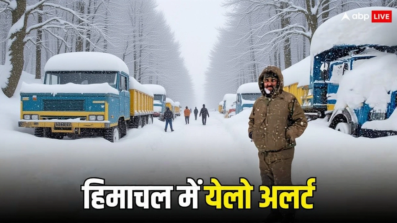
For the hill stations, this isn’t just rain—it’s a whiteout warning. In Uttarakhand, districts like Chamoli, Rudraprayag, and Almora are expecting rain on February 17-18, followed by snow in higher reaches on February 18-19. Similarly, Himachal Pradesh sees snow likely in Shima, Manali, and Kullu areas.
In Jammu & Kashmir, Srinagar and surrounding districts face rain on February 17, with snow looming over higher altitudes. Roads in these regions often become treacherous quickly. If you’re planning a trip to the mountains this weekend, check road conditions twice. Visibility drops sharply, and landslides are always a risk during active disturbances.
Meanwhile, in Madhya Pradesh, thunderstorms are predicted for February 18-19. It’s rare to see such activity this far south in mid-February, so drivers should keep their wipers handy and eyes peeled.
Fog Banks and Agricultural Impact
Don’t forget the fog. While rain dominates headlines, dense fog continues to plague parts of Bihar and Odisha. On February 17, districts like Purnia, Katihar, and Darbhanga in Bihar face reduced visibility in the mornings. This affects early morning commutes and flight schedules significantly.
For farmers, this weather pattern is a mixed bag. The rain provides much-needed moisture for rabi crops in Uttar Pradesh and Punjab, particularly in districts like Meerut and Saharanpur. However, excessive wetness can lead to fungal diseases if drainage isn’t managed well. It’s a delicate balance between relief and risk.
What Experts Are Saying
Meteorologists note that this western disturbance is stronger than average for late winter. "The contrast between daytime warmth and nighttime chill is creating unstable atmospheric conditions," explains one climate analyst. "This volatility is why temperatures fluctuate so wildly within a single day."
The IMD hasn’t named specific officials for this bulletin, but the consensus among regional centers is clear: stay alert. The system is moving slowly, meaning impacts will linger longer than typical storms.
Frequently Asked Questions
Which cities in Delhi-NCR will see rain on February 17?
Most of Delhi-NCR, including Gurugram, Noida, and Faridabad, is expected to experience light rain or showers on February 17, 2026. Winds may gust up to 40 km/h, causing temporary disruptions in traffic and outdoor activities.
Will there be snowfall in Shimla and Manali?
Yes, Himachal Pradesh, including Shimla and Manali, is likely to see snowfall in higher altitude areas between February 18 and 19, 2026. Lower regions may only experience rain. Travelers should monitor local alerts for road closures.
How will this affect air quality in Delhi?
The rain and strong winds on February 17 are expected to provide a temporary improvement in air quality by washing away pollutants. However, once the skies clear, pollution levels may gradually rise again unless wind patterns remain favorable.
Is travel safe to Uttarakhand during this period?
Travel to high-altitude areas in Uttarakhand carries risks due to potential snowfall and slippery roads. While lower districts like Dehradun may see only rain, places like Mussoorie and Auli could face snow-related delays. Check with local transport authorities before departing.
When will the weather return to normal?
By February 18, most areas in Delhi-NCR and the plains should see clearer skies. Temperatures will stabilize around 28°C during the day. Full normalization is expected by February 20, with dry and sunny conditions prevailing thereafter.